Imelda
4x4 Beach Update
Hurricane Imelda has strengthened into a Category 1 storm and is now on a more defined path, moving eastward away from the U.S. While the storm won’t make landfall, some lingering effects are still being felt along the Outer Banks in form of wind and dangerous ocean conditions. Double red flags are flying, which means no swimming in the ocean is permitted.
For our guests currently staying on the 4x4 beaches:
The ocean remains rough and strong northeast winds will continue to stir up dangerous surf and higher-than-normal tides over the next few days. If you plan to drive on the beach, we strongly recommend timing your travel around low tide.
| Day | Date | Low Tides |
|---|---|---|
| Tuesday | 9/30/2025 | 7:34 AM, 8:48 PM |
| Wednesday | 10/1/2025 | 8:37 AM, 9:44 PM |
| Thursday | 10/2/2025 | 9:40 AM, 10:34 PM |
Still Monitoring
We’re still tracking soon-to-be Imelda and Hurricane Humberto - current forecasts largely hold to our earlier expectations. Both storms seem more likely to make a hard-right turn out to sea by Tuesday.
That said, the Outer Banks is still going to feel some effects. Several days of strong NE winds, 10-foot+ storm surf, and rough seas are expected, but rain impacts could be less than initially forecasted. There is no immediate concern about 4x4 beach access, but Tuesday through Thursday could look different.
As a precaution, the Governor of North Carolina has declared a state of emergency in the event the forecast changes and additional resources are needed.
We will reach out directly by email or text if anything changes that could affect arriving or in-house guests. Stay tuned.
Tropical Update: Imelda & Humberto
We continue to keep a close watch on Tropical Cyclone 9 (future Tropical Storm Imelda) and Hurricane Humberto.
-
Future Imelda is strengthening near the Bahamas and tracking northward. The track remain uncertain - some show the storm drifting inland near South Carolina, while others suggest it could stall offshore before curving back out to sea. Either way, mid-week impacts to the Outer Banks are expected in the form of rain, strong winds, and dangerous ocean conditions.
-
Humberto is a powerful storm in the Atlantic. Current tracks keep it well offshore, though it may play a role in steering Imelda away from the U.S. coast. No direct impacts to the Outer Banks from Humberto are expected, other than rough seas.
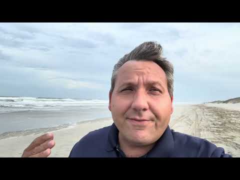
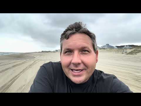
Watch Edward’s latest video update for more details (and a fun cameo).
If there becomes a need to notify arriving or in-house guests of changes to the forecast, we’ll reach out directly via email or text.
For now, our best recommendation is to continue to monitor forecasts from the National Hurricane Center and other trusted outlets.
Monitoring the tropics
We’re keeping a close eye on Invest 94L and Humberto, which is expected to strengthen over the next several days. At this time, it is still too early to know the exact track or if there will be any impact to the Outer Banks.
The 94L system is still in early stages of development and is not yet a named storm. If it does strengthen into a named storm, it would be called Imelda.
Our team will continue to monitor forecasts from the National Hurricane Center and local officials. For now, conditions here on the Outer Banks remain normal and we’re looking forward to welcoming our guests arriving this weekend.